Global Coastal Crisis Deepens as New Research Reveals Dramatically Underestimated Sea Levels and Accelerating Land Subsidence
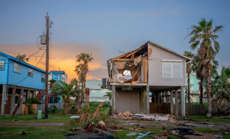
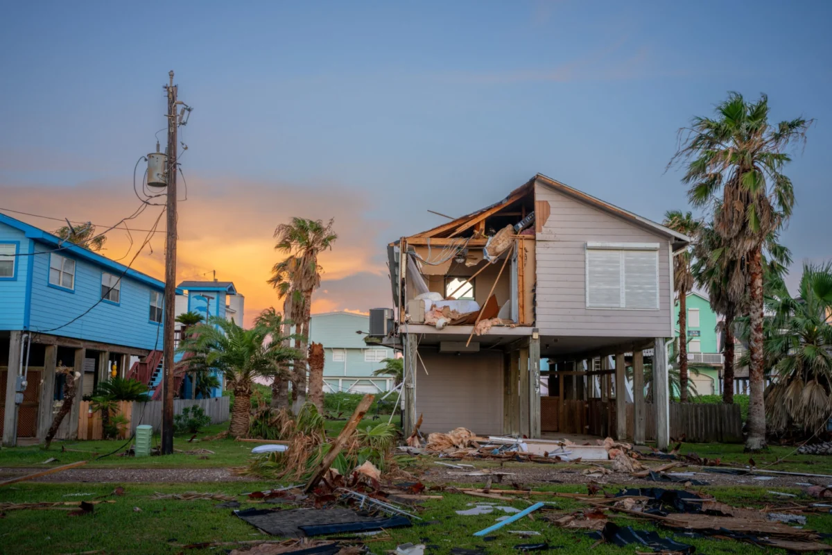
Scientific understanding of the existential threat facing the world’s coastlines has undergone a seismic shift following the publication of two comprehensive studies that suggest current flood-risk forecasts are dangerously optimistic. For decades, international climate policy has relied on global mathematical models to predict when and where the ocean will reclaim the land. However, new evidence indicates that these models have overlooked two critical factors: the actual baseline of current sea levels is significantly higher than previously recorded, and the land in many of the world’s most populous regions is sinking far faster than the water is rising.
The convergence of these findings suggests that tens of millions of people, particularly in the Global South, are living in a state of imminent peril that was previously thought to be decades away. According to researchers, the traditional reliance on "crude global modeling" has created a false sense of security for policymakers and urban planners. As Matt Palmer, a sea-level specialist at the U.K. Met Office’s Hadley Centre for Climate Science, observed, the impacts of climate-driven sea-level rise have been systematically underestimated, leading to the potential for devastating consequences much earlier than the scientific community had anticipated.
The Measurement Gap: Why Current Sea Levels Are Higher Than Reported
At the heart of this revisionist understanding is a groundbreaking analysis conducted by Katharina Seeger and Philip Minderhoud, geographers at Wageningen University & Research in the Netherlands. Their study, which examined 385 locations worldwide using actual tidal gauge data rather than theoretical models, found that the scientific literature has been operating with a flawed baseline.
For years, researchers have relied on the "geoid"—a mathematical representation of the Earth’s shape based on gravity and rotation—to estimate sea levels. While the geoid provides a useful average, it assumes a static, calm ocean. In reality, the ocean is a dynamic system influenced by powerful currents, thermal expansion, and prevailing winds that "pile up" water against certain coastlines. The Dutch study revealed that in many cases, actual sea levels are nearly one foot higher than the geoid-based estimates. In some specific locations, the discrepancy exceeds three feet.
This "methodological blind spot" has profound implications for population data. The researchers concluded that approximately 80 million people are currently living on land that sits below the actual sea level—nearly double the previous estimates. If global sea levels rise by the projected 3.3 feet (one meter) by the end of the century, the corrected calculations suggest that 68 percent more people will be at risk than previously thought. This additional vulnerable population is roughly 132 million people, a figure equivalent to the entire population of Mexico.
The Sinking Land: Accelerating Subsidence in Global Deltas
While the sea rises from above, the land is failing from below. A second major study, led by Leonard Ohenhen of the University of California, Irvine, utilized satellite-mounted radar to create high-resolution 3D maps of 40 of the world’s largest river deltas. These deltas are home to some of the planet’s most densely populated megacities and vital agricultural hubs.
The findings were startling: more than half of the deltas surveyed are actively subsiding. Most critically, in 18 of these deltas, the rate of land subsidence significantly outpaces the rate of sea-level rise. In the most extreme cases, the land is sinking ten times faster than the ocean is rising. This creates a "relative sea-level rise" that renders traditional climate projections obsolete.
Historically, deltas were maintained by a delicate balance of sediment deposition from rivers. However, human activity has disrupted this natural process. The primary culprit is the intensive extraction of groundwater to support growing urban populations, industry, and agriculture. As water is pumped out of underground aquifers, the soil compacts, causing the surface to drop. Additionally, the construction of upstream dams and downstream levees has starved deltas of the silt and sediment necessary to rebuild land lost to natural erosion.
A Chronology of Coastal Vulnerability Research
The evolution of sea-level science has moved from broad global averages to increasingly granular, localized data.
- The 1990s–2000s: Early IPCC reports focused largely on global mean sea-level rise (GMSL), driven primarily by melting glaciers and thermal expansion of the oceans. Local variations were acknowledged but rarely mapped with precision.
- 2010–2015: Researchers began to identify "hotspots" of sea-level rise, noting that ocean currents like the Gulf Stream could cause regional variations. Meanwhile, localized studies in cities like New Orleans and Bangkok began to highlight the dangers of subsidence.
- 2019–2022: The Indonesian government’s decision to move its capital from Jakarta to Borneo served as a global wake-up call regarding the speed of land subsidence.
- 2024–2025: The publication of the Seeger-Minderhoud and Ohenhen studies represents a synthesis of these two threats, providing the first consistent, high-resolution global dataset that accounts for both measurement errors in sea level and the true scale of sinking land.
Regional Impacts: From the Mekong to the Mississippi
The human and economic toll of these findings is most evident in the specific regions identified as high-risk.
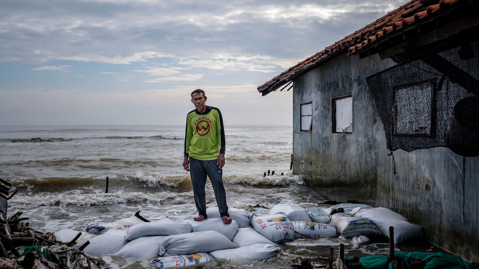
Southeast Asia: The Mekong Delta in Vietnam is one of the world’s most productive agricultural zones, yet it is on the front lines of this crisis. Previous models suggested the delta would remain safe until sea levels rose by five to six feet. However, Philip Minderhoud’s field research showed that surface water levels are already much higher than modeled, and the land is sinking rapidly due to groundwater use. Without massive intervention, the "rice bowl" of Asia could be submerged decades ahead of schedule.

Indonesia: In Java, the city of Semarang provides a harrowing example of the subsidence-sea-level rise nexus. Groundwater pumping is so aggressive that the land is sinking 20 to 50 times faster than the sea is rising. In late 2024 and early 2025, devastating floods forced thousands to evacuate, and many residents have resorted to building their homes on stilts, effectively living in a permanent maritime environment.
China: The Yellow River Delta is suffering from a lack of sediment due to more than 20 large dams located upstream. As a result, the delta is subsiding up to ten times faster than the projected rise of the Yellow Sea. Similarly, megacities like Shanghai and Tianjin have historically seen land drops of six to ten feet, requiring massive investment in sea walls and pumping restrictions.
Egypt: The Nile Delta, which hosts two-thirds of Egypt’s agricultural land, is being squeezed by both the Aswan High Dam (which blocks sediment) and intensive groundwater pumping. The resulting subsidence is allowing saltwater to infiltrate underground aquifers, poisoning crops and threatening the historic city of Alexandria.
North America and Europe: The Mississippi Delta has lost nearly 2,000 square miles of land over the last century, largely because levees prevent the river from depositing sediment. It continues to sink by an average of two inches per year. In Italy, the Po Delta is sinking at a similar rate after losing 71 percent of its sediment supply to hydroelectric dams.
Analysis of Implications: A Call for Local Action
The revelation that the sea-level baseline is higher than assumed is a sobering "confrontation with reality" for international bodies like the World Bank and the IPCC. It suggests that many coastal defense projects currently under construction may be designed for a world that no longer exists.
However, there is a silver lining in the data. While the global community has struggled to curb the greenhouse gas emissions that drive sea-level rise, the causes of land subsidence are often local and reversible. The case of Tokyo serves as a primary example: between 1920 and 1960, parts of the city sank by 15 feet. In response, the Japanese government imposed strict bans on groundwater pumping, and land levels have remained stable for over half a century.
Urban planners must now shift their focus toward "integrated coastal management" that addresses both water and earth. This includes:
- Groundwater Regulation: Transitioning coastal cities to surface water sources or desalinated water to allow aquifers to recharge.
- Sediment Management: Re-engineering dams to allow for "sediment bypassing" and removing obsolete levees to let rivers naturally replenish deltas.
- Nature-Based Solutions: Restoring mangroves and coastal wetlands, though these efforts must be paired with subsidence control to be effective.
Conclusion: A New Story of Vulnerability
The synthesis of these two major studies rewrites the narrative of coastal risk. It is no longer enough to look at a global map and predict a slow, steady rise in tides over the next century. The threat is immediate, localized, and compounded by human activities that extend far beyond carbon emissions.
As Franck Ghomsi of the University of Cape Town noted, the combination of a higher sea-level baseline, sinking land, and the increasing frequency of extreme weather events creates a "greater than the sum of its parts" impact. For the 132 million additional people now recognized as living in the danger zone, the window for adaptation is closing. The findings demand an urgent pivot from theoretical modeling to real-world, data-driven protection strategies to prevent a humanitarian catastrophe in the world’s coastal megacities.


