The Global Climate Anomaly: How a Record-Breaking El Nino is Rewriting Weather Patterns Across the Americas



Off the Pacific coast of South America, a monumental shift in oceanic temperatures is currently underway, marking what meteorologists describe as a historic, unprecedented atmospheric event. The current El Niño, characterized by a vast band of anomalously warm water, has surged to more than 3 degrees Celsius above the historical average. This makes it the most intense El Niño event recorded since the advent of satellite-based sea surface temperature monitoring fifty years ago. With the phenomenon showing no immediate signs of weakening and expected to reach a potential 4-degree anomaly by late 2026, the scientific community is recalibrating its understanding of climate variability.
Zeke Hausfather, a prominent climate scientist at the research organization Berkeley Earth, notes that the event has already entered uncharted territory. "This event is already in record territory," Hausfather stated. "Every predictive model currently suggests that the thermal expansion of this water mass will continue to grow, challenging previous benchmarks for duration and intensity."
A Tale of Two Oceans: The Atlantic Stagnation
While the Pacific is experiencing record-breaking thermal energy, the Atlantic basin presents a startlingly different narrative. Typically, the Atlantic hurricane season, which commences in June, generates a predictable cadence of tropical storms and hurricanes. Under normal conditions, by late September, the region would have already produced roughly four hurricanes, two of which would have reached major intensity status.
However, the 2026 season has shattered records for inactivity. As of late September, the Atlantic has failed to generate a single hurricane, surpassing the previous record for the latest onset of the first hurricane, which stood at September 11. This paradox—a hyper-active, warming Pacific contrasted with a stagnant, quiet Atlantic—is not a series of disconnected accidents. It is a manifestation of the complex, teleconnected nature of the global climate system.
The Physics of Suppression: Wind Shear and Humidity
To understand the lack of activity in the Atlantic, one must analyze the "engine" of a hurricane. A tropical cyclone requires three primary ingredients: warm ocean temperatures (the fuel), high humidity, and consistent atmospheric wind conditions. While the Atlantic possesses ample thermal energy, the current El Niño has drastically altered the upper-level atmospheric environment.
Brian McNoldy, a senior research associate at the University of Miami who specializes in tropical meteorology, explains that the Pacific event has induced significant wind shear over the Atlantic basin. "Hurricanes are structurally sensitive," McNoldy noted. "When you have air moving at different speeds and in conflicting directions at various altitudes—a state known as high wind shear—the engine of the storm cannot sustain itself. Currently, the El Niño is creating a ‘gusty mess’ in the upper atmosphere, effectively decapitating potential storms before they can organize. Furthermore, the event is pushing dry, sinking air into the region, which is diametrically opposed to the high-humidity environment hurricanes require to thrive."
The Pacific Impact: Rapid Intensification
While the Atlantic remains suppressed, the Pacific coast of the Americas is confronting the consequences of this high-octane thermal environment. Earlier this week, Hurricane Polo exhibited a phenomenon known as "rapid intensification," a term reserved for storms that see wind speeds increase by at least 35 mph within a 24-hour window. Polo escalated from a standard tropical storm to a Category 5 monster in less than a day.
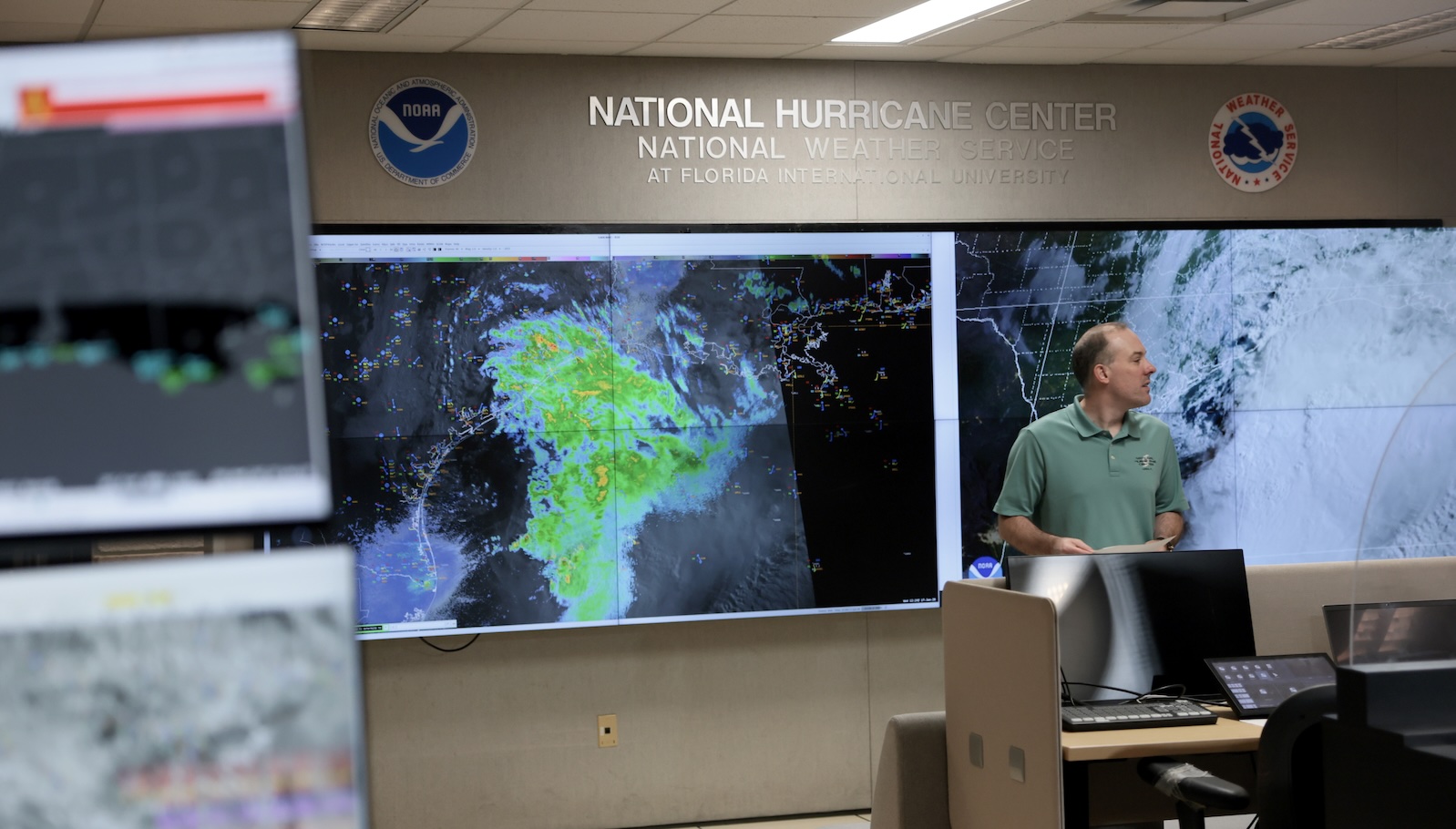
Climate scientists point to this as a hallmark of modern tropical meteorology: the combination of climate-warmed oceans and the localized heating from the El Niño event provides an abundance of energy for cyclonic systems. As Polo tracks toward Baja California, and with tropical storm Nolo threatening to dump extreme rainfall across Hawaii, the human toll is becoming increasingly evident. The infrastructure of coastal communities, often built for lower-intensity events, is now being tested by these rapid-onset disasters.
Global Consequences and Human Mortality
The implications of this El Niño extend far beyond regional weather patterns. The event is already contributing to a significant global warming spike. Research from the Impact Lab suggests that the heat associated with this El Niño could be linked to approximately 451,000 excess deaths globally over its first nine months.
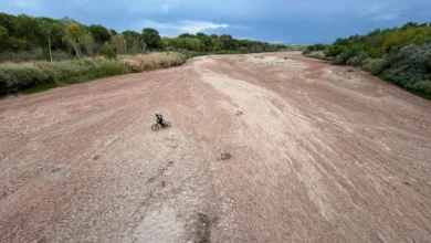
The phenomenon disrupts the precipitation cycle on a planetary scale. While the American Southwest and parts of California may experience increased rainfall, regions such as Southeast Asia, the Amazon basin, and parts of sub-Saharan Africa face the looming threat of severe, multi-year droughts. Historically, these shifts have been the primary drivers of economic instability and humanitarian crises. "It is the potential for crop failures that represents the greatest threat to global food security," Hausfather observed. "In many of these vulnerable regions, subsistence farmers rely on predictable weather windows. When the rains fail, the economic and human consequences are catastrophic."
The Ocean as a Thermal Battery
The scientific community emphasizes that the current oceanic temperature anomaly is not merely a statistical outlier; it is a profound indicator of energy imbalance. Art Miller, a climate scientist at the Scripps Institution of Oceanography, highlights the ocean’s unique role in the global climate. "The ocean holds 1,000 times more heat than the atmosphere," Miller explained. "When you see a change of a few degrees in the surface temperature of the Pacific, you are looking at a staggering amount of energy being exchanged with the atmosphere. These are not trivial shifts; they are fundamental changes to the planet’s thermodynamic state."
Preparing for a New Baseline
The current El Niño serves as a grim preview of what the global climate will look like in roughly two decades. As human-induced warming increases the baseline temperature of the Earth, future El Niño events will be layered upon this hotter foundation, leading to more extreme impacts than those witnessed in the 20th century.
For governments and international organizations, the priority has shifted toward rapid adaptation and resource management. The focus is now on three critical areas:
- Food Security and Financial Buffers: Policymakers are being urged to develop robust supply chain stockpiles and financial mechanisms, such as immediate cash transfer systems, to support farmers whose harvests are decimated by drought.
- Fire Mitigation: As landscapes reach record-dry states, the focus on fire prevention has intensified. This includes stricter controls on agricultural biomass burning and the implementation of proactive, controlled burns to reduce forest floor fuel loads.
- Infrastructure Resilience: With storms like Hurricane Polo demonstrating the risk of rapid intensification, there is a renewed urgency to upgrade coastal defenses and invest in advanced meteorological warning systems that can provide earlier detection for communities in the path of extreme weather.
Ultimately, the current El Niño is a stress test for the global community. It highlights the vulnerability of current systems to the volatility of an overheating planet. As the event continues to unfold, the data gathered will be essential for climate modeling and long-term planning, serving as a stark reminder that the "new normal" is not a static state, but a period of increasingly intense and interconnected meteorological volatility. The world is watching, as the events of 2026 provide a definitive glimpse into the planetary climate of the coming century.