Living in the Shadow of the Ice: How Juneau is Navigating the Era of Recurring Glacial Floods

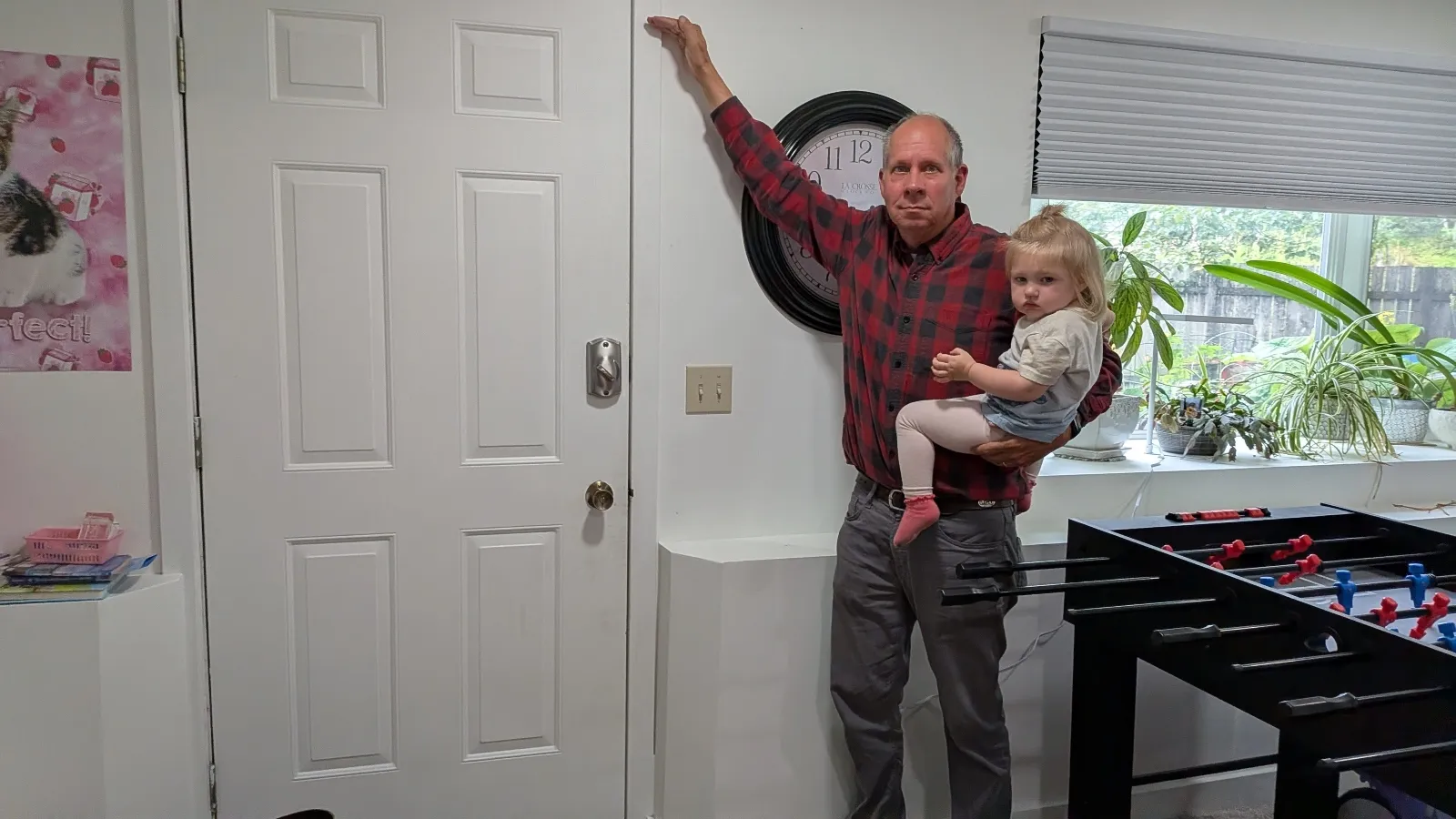
Two years ago, 65-year-old retiree John Lowrey was jolted from his sleep by the unmistakable, violent roar of water surging into his home. As a father of five with deep roots in the Alaskan landscape, Lowrey was accustomed to the rugged, unpredictable nature of the North. However, nothing could have prepared him for the moment a three-foot wave of glacial runoff slammed into his basement, tearing the heavy door from its hinges and turning his residence into a trauma zone. As water cascaded through his bay windows, drowning heirloom cedar chests and family instruments, his 29-year-old daughter attempted a futile rescue of family photos, stacking them on a bed until it began to float. The inundation, which cost the family $150,000 in damages, was not a singular, freak accident. It was the beginning of a new, harrowing normal.
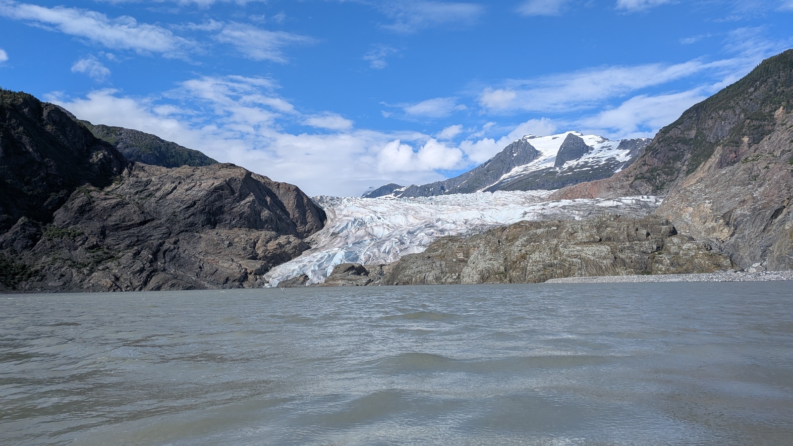
What Lowrey did not know then—but has since come to accept with grim resignation—was that the flood that devastated his property was merely the first in an annual cycle of destruction. As the climate in Alaska warms at a rate two to three times the global average, the Mendenhall Glacier has become a source of profound instability for the capital city of Juneau.
The Mechanics of a Glacial Outburst
The phenomenon causing this chaos is known as a Glacial Lake Outburst Flood (GLOF). Situated above the Mendenhall Glacier lies a depression called Suicide Basin. In the warmer months, this basin acts as a natural reservoir, collecting vast quantities of glacial meltwater and seasonal rainfall. Historically, the ice acted as a stable dam. However, as the glacier has thinned and retreated, the structural integrity of this ice dam has been compromised.
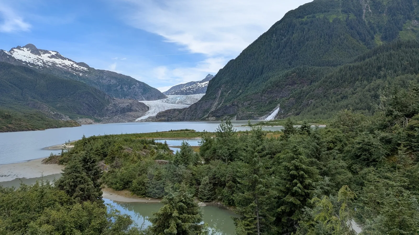
When the water level in Suicide Basin reaches a critical threshold, the hydrostatic pressure forces water to carve a path through or beneath the ice, releasing a catastrophic volume of water downstream into the Mendenhall River. During major events, the basin has been known to discharge upwards of 15 billion gallons of water—a volume equivalent to roughly 22,000 Olympic-sized swimming pools—in a matter of hours.
A Chronology of Escalation
The flooding in the Mendenhall Valley was not an overnight development, but a creeping crisis that gained momentum over the last decade and a half:
- 2011: The first documented GLOF occurred in the Mendenhall Valley. At the time, the event was treated as a meteorological curiosity rather than a systemic threat. Scientists, utilizing aerial surveys, identified the leaking water in the basin, but the long-term implications remained largely misunderstood by the public.
- 2011–2022: For more than a decade, flooding events remained relatively minor, causing localized concern but failing to trigger widespread alarm or significant changes to local infrastructure.
- 2023: The crisis reached a turning point. The river surged to a record high of nearly 15 feet. Approximately two dozen homes were inundated, and one house was completely swept away by the river, signaling a shift from manageable seasonal flooding to a genuine threat to life and property.
- 2024: The threshold was broken again, with nearly 300 homes sustaining damage. The scale of the destruction forced the city and residents to confront the reality that the Mendenhall Valley had entered a permanent state of high risk.
- 2025–Present: The pattern has solidified into an annual event, with scientists warning that these outbursts are likely to continue for decades as the glacier continues its retreat.
Data-Driven Adaptation: The Digital Lifeline
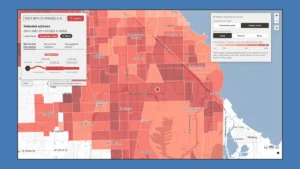
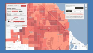
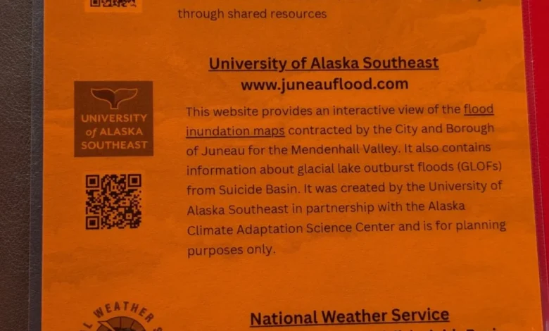
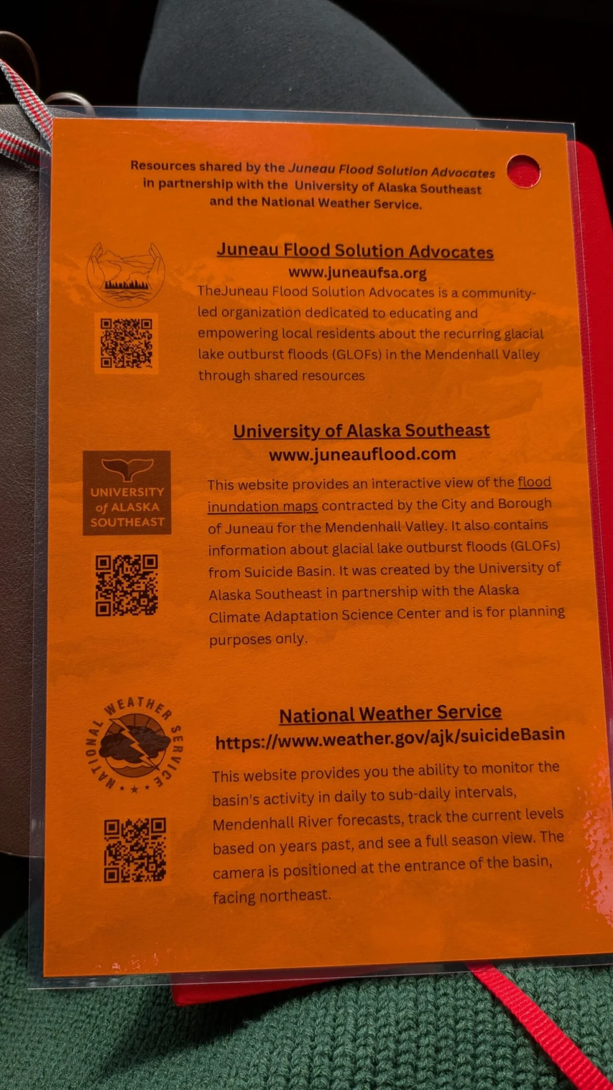
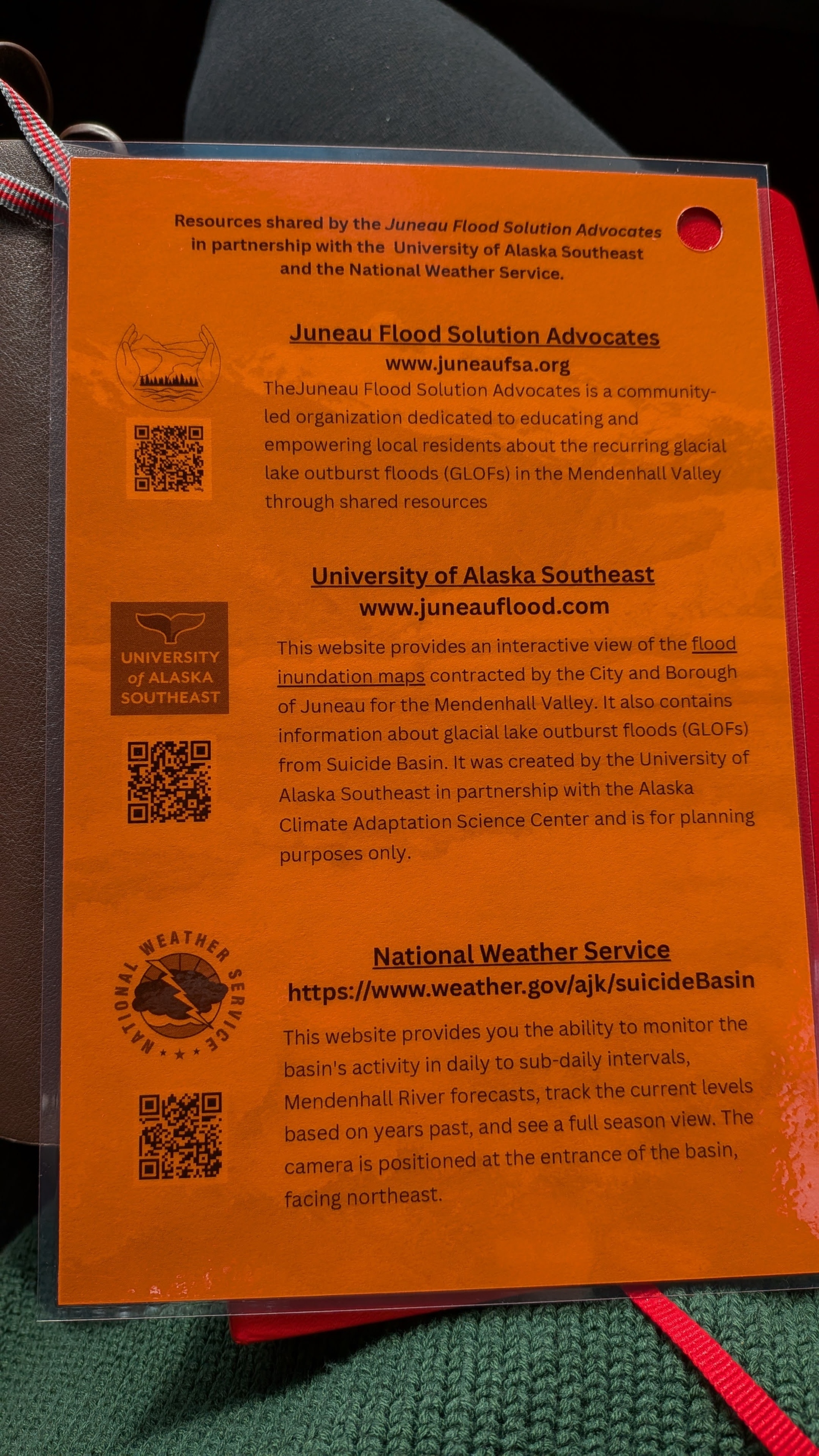
Faced with the reality that their homes sit in a high-risk zone, the people of Juneau have had to pivot toward radical adaptation. Because the city is accessible only by air or sea, logistical support during a disaster is complex. To bridge the gap, the University of Alaska Southeast and the Alaska Climate Adaptation Science Center collaborated with local authorities to develop a high-tech solution: the Mendenhall Flood Dashboard.
The dashboard, which debuted in 2025, serves as a real-time command center for residents. By translating complex hydrological and glaciological data into accessible, actionable information, it allows homeowners to track water levels in Suicide Basin and the Mendenhall River. Last year, more than 15,000 people—nearly half the population of Juneau—utilized the tool.
For residents like Mark Miller, 75, the dashboard is a source of both anxiety and comfort. After losing $35,000 in repairs following a midnight flood that filled his garage with 16 inches of glacial silt, Miller now monitors the site constantly. "It can accurately predict the height of these floods within hours," Miller notes. "It’s about having the power to make a decision before the water hits your door."
Official Response and Structural Defense
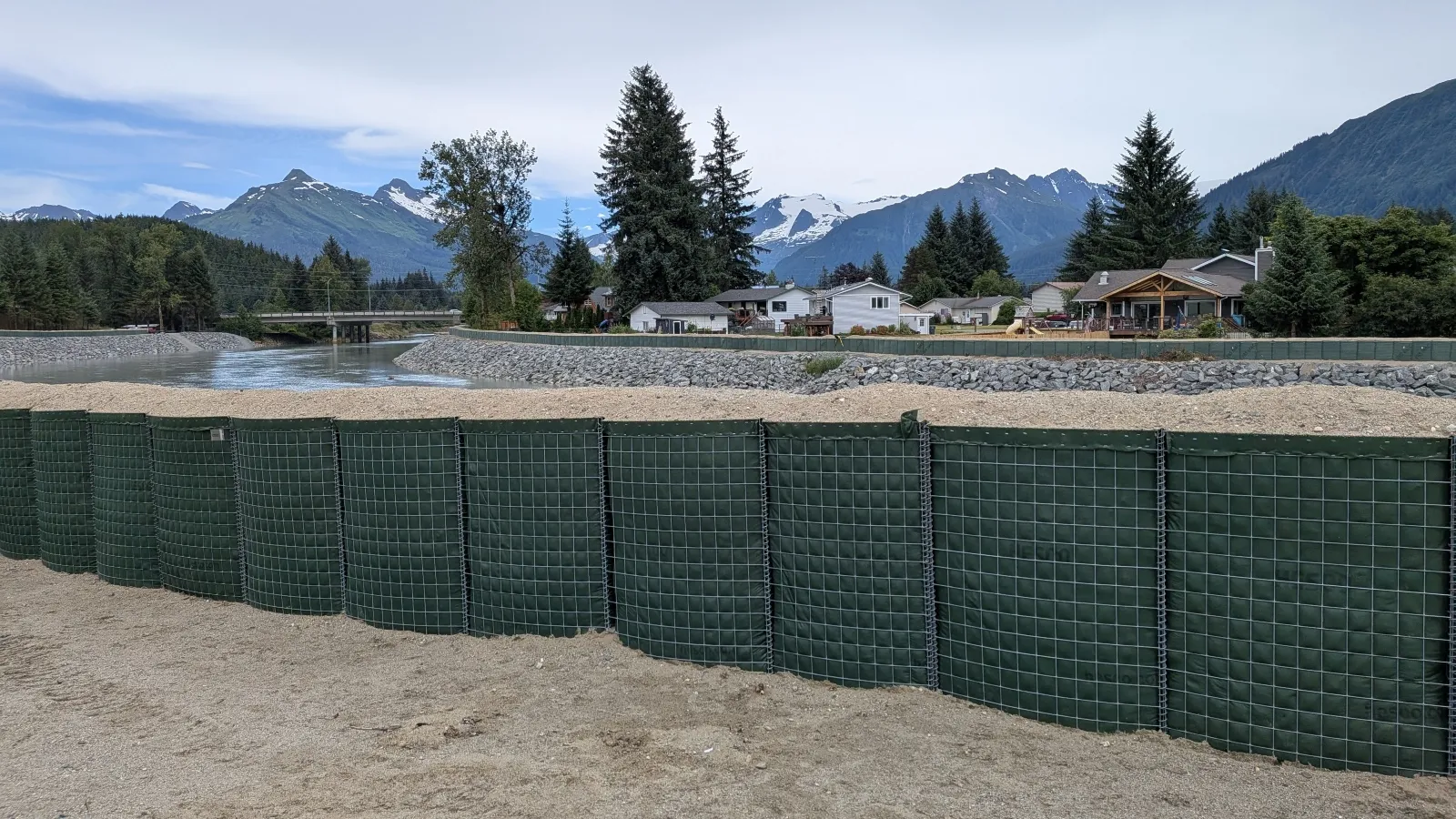
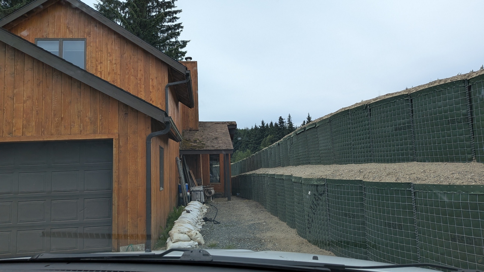
The city’s response has moved beyond digital warnings to tangible physical intervention. In coordination with the U.S. Army Corps of Engineers, Juneau has deployed roughly six miles of temporary flood barriers, known as Hesco barriers. These fabric-lined, wire-mesh baskets are filled with sand and gravel, functioning like industrial-scale Legos that can be stacked to block the river’s path.
Nate Rumsey, deputy director of engineering and public works for the city, has been at the forefront of this effort. He views the barriers as a necessary, if temporary, stopgap. "Another severe flood could put the viability of our community at risk," Rumsey stated. The installation process itself was a community effort, with residents using the dashboard to understand why the barriers were being placed in specific locations—often within inches of their own windows.
While these defenses provide a measure of security, they also highlight the harsh reality of living in a changing climate. "For Sale" signs have become a common sight in the valley, creating a difficult real estate environment where homeowners find themselves trapped between the desire to relocate and the inability to sell property in a known flood zone.

Broader Implications: A Global Warning
The situation in Juneau is a microcosm of a broader, global challenge. Similar GLOF risks are documented in the Alps, the Himalayas, and Iceland. As mountain glaciers around the world reach a tipping point in their recession, the hydrological cycle of the regions they feed is being fundamentally rewritten.
Dr. Eran Hood, a lead scientist on the project, believes that Juneau’s experience offers a blueprint for other communities facing repetitive climate-driven disasters. "You can do the same thing with hurricanes or storm surges," Hood said. "The goal is to provide people with information that gives them the power to make decisions. That is the biggest lesson from this."
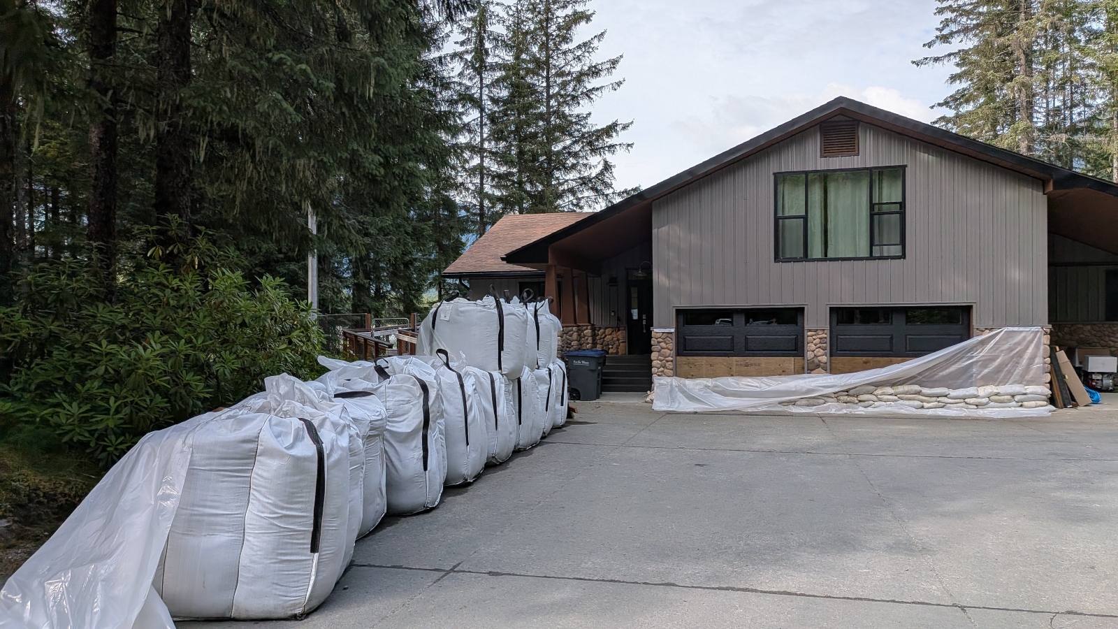
For residents like 33-year-old Alyssa Fischer, the academic lessons of climate change have been replaced by the visceral reality of survival. After carrying her two young children through waist-deep, freezing water and evacuating her livestock, Fischer now lives with a heightened sense of vigilance. She monitors the dashboard hourly during the flood season, viewing it not as a scientific tool, but as a critical component of her family’s safety kit.
"It’s your life," Fischer said. "It’s your money and your investment. Understanding what is happening in the world around you and how it affects you—that is the only way to move forward."
As Juneau enters another season of uncertainty, the city remains a test case for how human populations can coexist with a landscape that is no longer predictable. The reliance on data, combined with community-wide preparation, has allowed the city to avoid the loss of life, but the emotional and economic toll of the annual deluge continues to mount. The story of Juneau is not just one of rising waters; it is a story of a community learning to read the language of a changing planet, and, in doing so, finding the courage to prepare for a future that is as uncertain as the glacial river itself.
Related posts: